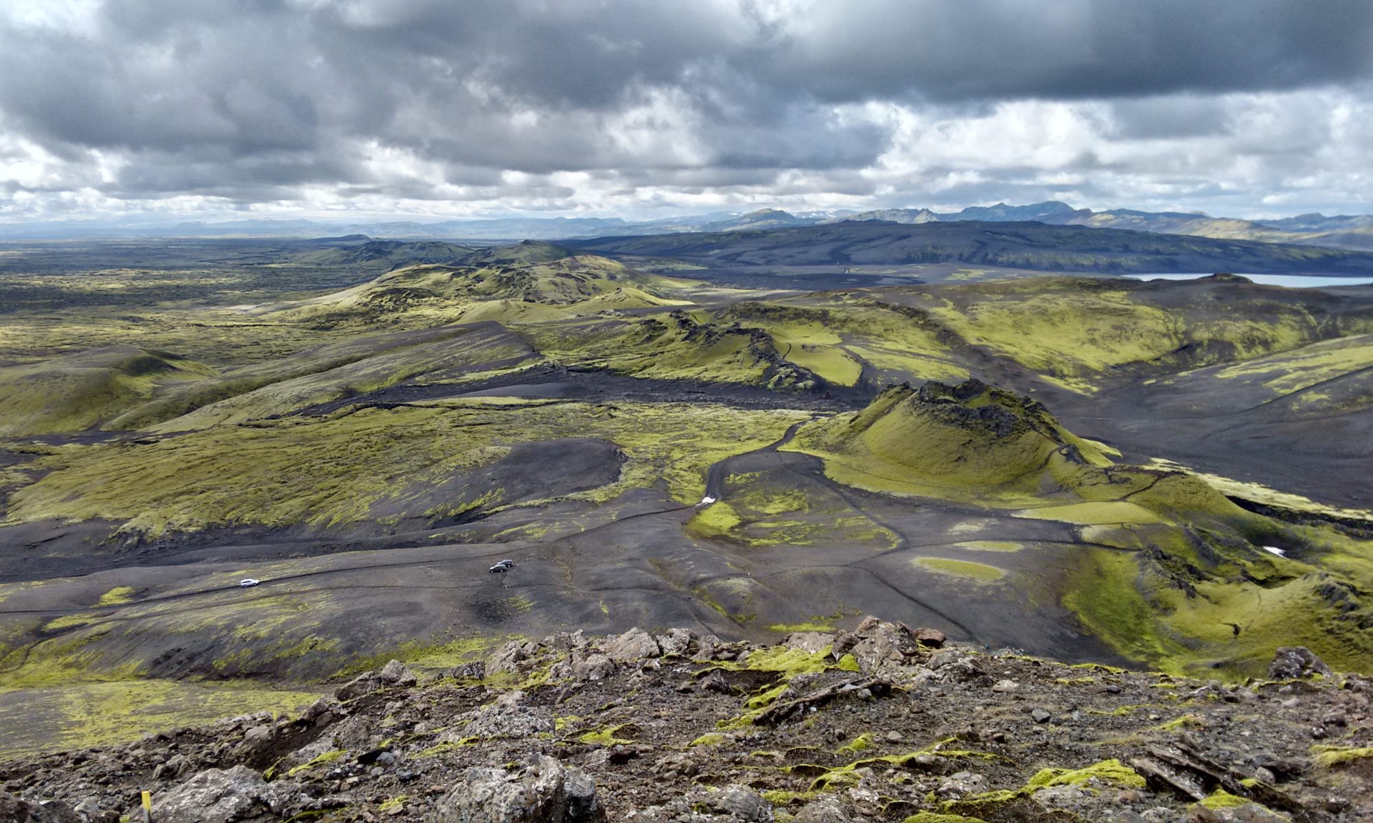
Today it is well known that Iceland is home to active volcanoes. This fact became quite obvious to most people in Europe and North America when Eyjafjallajökull erupted in 2010 and its ash grounded international air traffic for several days. In the summer of 2014 the Bárðarbunga volcano was erupting north of Vatnajökull in the Holuhraun lava field and webcams broadcast the eruption 24/7 to anybody in the world with an internet connection. So, while I was writing my Master’s thesis on the Laki fissure eruption’s impacts on the German territories in the summer of 1783, I could livestream a volcanic eruption that occurred in the remotely located Icelandic highlands. The contemporaries in 1783 had to wait several months for news about a volcanic eruption to reach mainland Europe. In 1783, just like in 2010, the jetstream carried the ash and gases, which were ejected by the volcano, towards mainland Europe. The impacts of the eruption could be felt from North America to Egypt and the Altai Mountains in Asia.
The contemporaries gazed at the sky and witnessed a veil of dust that lasted for two months. In addition to the dry fog, 1783 saw many extraordinary natural phenomena: heat, a sulfuric odor, numerous thunderstorms, a newly emerging island, and earthquakes. The hot summer was followed by three severely cold winters. In the spirit of the Enlightenment contemporaries speculated about the cause of the haze and tried to explain the unusual natural phenomena of their time with reason. Several very creative theories about the dry fog’s and the unusual natural phenomena’s origin were developed, theories of the culprit included two volcanic eruptions which took place within the German territories (the Cottaberg and the Gleichberg), and lightning rods that took away too much (or too little) electricity from the atmosphere. There was speculation that a “great burning ball” (a comet) that passed Earth caused the haze. Contemporaries lived in the time of a subsurface revolution that caused earthquakes in Europe, so that too became a theory. A new island that had emerged off the coast of Iceland, earthquakes and a tsunami in Sicily and Calabria were also fancied as the cause or at least part of it. A possible Icelandic volcanic eruption, most likely caused by Hekla (pictured above), was another theory among many. The most popular theory of the time was that the earthquakes in southern Italy opened the Earth and the gases from the inside of the Earth could emerge, form a sulfuric haze, and travel across Europe.
It took months for the news of an Icelandic volcanic eruption to reach mainland Europe, another decade until the fissure was discovered, and more than one hundred years for the dots between the haze and the eruption to be connected.
The volcanic eruption occurred at an interface between the environment and society, as it is located between natural eco systems and the societal and economic consequences. First and foremost, this project is an environmental history about the Laki fissure eruption and its impacts, how those impacts were perceived differently in different regions, and which explanation and coping strategies and practices were evoked. Environmental history studies the interactions between society and their natural and man-made environment. The topic is nevertheless very versatile and allows me to incorporate many different disciplines: cultural and social history, history of science and history of knowledge, climate history and historical climatology, historical anthropology, and disaster history.
The Laki fissure eruption enables us to learn something about our present and future dealings with climate change. Climate change is something that we can attest scientifically but that we cannot explain adequately for everybody to understand it. The Laki fissure eruption occurred invisibly for the contemporaries due to the distance and the standard of scientific inquiry. Today, invisible disasters still occur, some of which are triggered by climate change, for instance, the loss of biodiversity. Researching invisible interrelations is therefore a relevant endeavor far beyond the eighteenth century.
Some additional information about my doctoral project can be found in the Promotio database.

My research was published as a monograph in May 2023 with De Gruyter’s Historical Catastrophe Studies series. The book is available open-access and in print.
Other research associated with this project was published in Nature, Global Environment, Paleoceanography and Paleoclimatology, and Arcadia.
Image source: Detail of the historical map “Islandia” by Jean Boisseau. Théatre Géographique du Royaume de France. France, about 1648. The map is in the public domain due to its age. It’s part of a collection at the National and University Library of Iceland.

